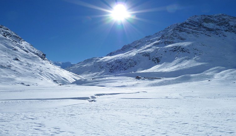
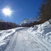
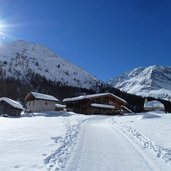
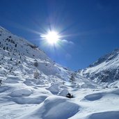
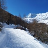
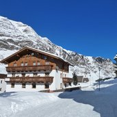
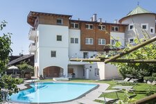
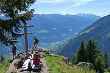
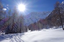
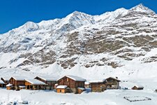
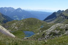
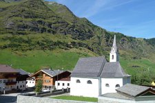
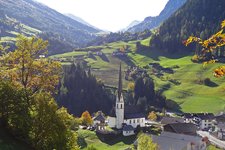
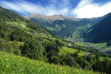
The Lazins valley is a wide high valley that stretches from Plan in the Val Passiria to the head of the valley underneath the Passo Gelato and is ideal for a pleasant winter walk
Image gallery: Winter walk to the Malga Lazins
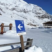
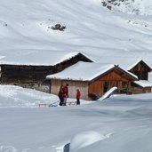
The parking space of the skiing area of Plan at the entrance of the village (also reachable by bus from Merano) is the starting point of our winter walk to the Lazins mountain hut (Lazins Alm in German, Malga Lazins in Italian). We follow the signposts of the Alta Via di Merano (no. 24), stretching on the sun-spoilt northern side of the valley. Up to the farmstead of Zeppichl tavern, the road is asphalted. Afterwards we continue on the wintery path to the farmsteads of Lazins (possible to stop also in winter).
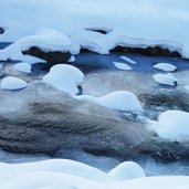
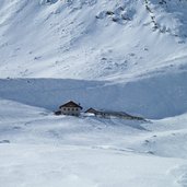
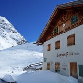
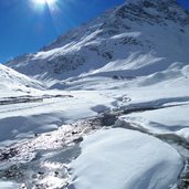
In this fairytale winter landscape, the path changes the side of the valley and parallels the riverside of the Plan river up to the Malga Lazins. This mountain hut (1,880 m a.s.l.) is closed in winter. From this place the route for snow-shoeing and ski mountaineers would continue to the Rifugio Petrarca all'Altissima (Stettiner Hütte in German), or the Forcella di Sopranes (Spronser Joch in German). We decide to return. Up to Lazins, we follow the same way back, then we stick to the right side of the valley (path n° 8), on a path leading the way back to Plan.
Author: AT
-
- Starting point:
- Pfelders / Plan (parking space)
-
- Time required:
- 02:35 h
-
- Track length:
- 8,8 km
-
- Altitude:
- from 1.614 m to 1.843 m
-
- Altitude difference:
- +244 m | -244 m
-
- Route:
- Plan - Zeppichl - Lazins – Malga Lazins - Lazins - Plan
-
- Signposts:
- 24, 8
-
- Destination:
- Malga Lazins Alm
-
- Resting points:
- Zeppichl, Lazins
-
- Recommended time of year:
- Jan Feb Mar Apr May Jun Jul Aug Sep Oct Nov Dec
-
- Download GPX track:
- Winter walk to the Malga Lazins
If you want to do this hike, we suggest you to check the weather and trail conditions in advance and on site before setting out.
