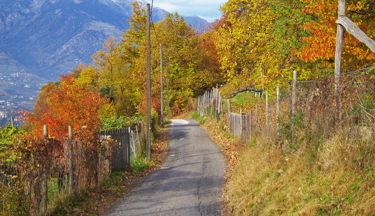
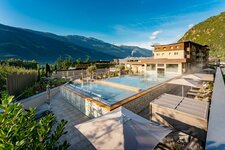
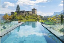
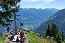
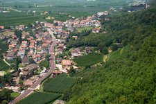
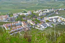
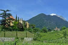
Especially in spring and autumn, Montefranco - a hamlet and mountain above Sinigo/Merano - represents a popular excursion destination
Image gallery: Hike to the Montefranco above Merano
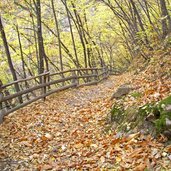
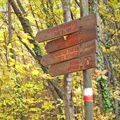
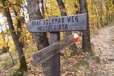
The starting point of this hike is located north of Postal, near the Hotel Förstlerhof where the Graf Volkmar Trail leads towards south. We follow the signpost "Freiberg - Montefranco" uphill through the autumnal deciduous forest and overcome 300 metres of altitude difference in order to reach the highland at 600 m a.s.l. The Mitterwalder tavern invites to enjoy a coffee.
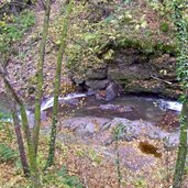
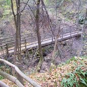
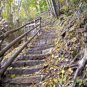
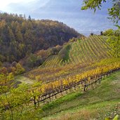
We continue our hike through the gorge of the Rio Sinigo arising from the Salto High Plateau. Past a small wooden bridge over the brook a long stone stairway leads us uphill on the other side of the valley. At this point we can either proceed uphill to Castel Veruca (Fragsburg) or towards Castel Gatto and Sinigo, the shorter alternative. We decide for the latter. After the shady gorge we leave also the forest behind us and hike trough a beautiful hill landscape characterised by vineyards and chestnut trees.
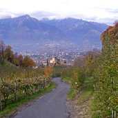
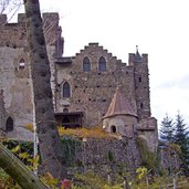
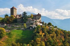
One of the most interesting buildings on our way is Castel Gatto (Katzenstein). Shortly afterwards we enjoy a spectacular view on the valley and the village of Sinigo, the destination of our hike. Through the forest we descend into the valley and take the bus back to Postal.
Author: AT
-
- Starting point:
- Postal / Burgstall, Förstlerhof bus stop
-
- Time required:
- 01:30 h
-
- Track length:
- 5,2 km
-
- Altitude:
- from 265 m to 521 m
-
- Altitude difference:
- +264 m | -253 m
-
- Signposts:
- Freiberg - Monte Franco, no. 1
-
- Destination:
- Sinigo / Sinich
-
- Track surface:
- Asphalt road (49%), trail and gravel road 51%
-
- Recommended time of year:
- Jan Feb Mar Apr May Jun Jul Aug Sep Oct Nov Dec
-
- Download GPX track:
- Hike to the Montefranco above Merano
If you want to do this hike, we suggest you to check the weather and trail conditions in advance and on site before setting out.
