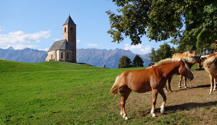
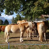
This family hike leads along a varied adventure path dedicated to the Haflinger horses from Avelengo to St. Catherine
Image gallery: Haflinger Adventure Trail
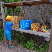
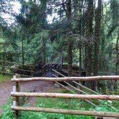
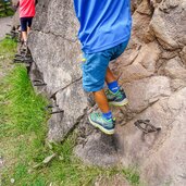
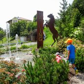
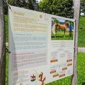
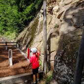
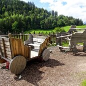
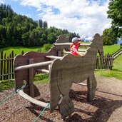
The starting point of this hike is the hiking car park near the centre of Avelengo (Hafling) (1,300 m a.s.l.). From here we walk northwards through the village and take the Bürgeleweg path. This is where the Haflinger Adventure Trail starts, which invites visitors to take part in activities at 12 stations and provides all sorts of interesting facts about the fox-coloured, strong and good-natured Haflinger horses, whose history is closely linked to the village of Avelengo.
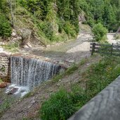
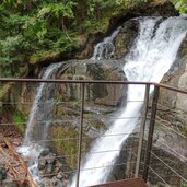
The path leads slightly downhill to the Sinichbach stream. Just before the bridge, the path to the waterfall branches off to the right which we take. We walk along the stream and a short time later we reach a platform from which the waterfall is clearly visible. After a short break, we return to the bridge and continue our way towards St. Catherine (St. Kathrein). Once there, we meet some Haflinger horses and return to our starting point.
Author: AD
-
- Starting point:
- Hiking car park Avelengo
-
- Time required:
- 02:00 h
-
- Track length:
- 6,3 km
-
- Altitude:
- from 1.235 m to 1.340 m
-
- Altitude difference:
- +205 m | -205 m
-
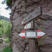
- Signposts:
- Haflinger Erlebnisweg, 15B Wasserfall
-
- Track surface:
- Asphalt, dirt road
-
- Recommended time of year:
- Jan Feb Mar Apr May Jun Jul Aug Sep Oct Nov Dec
-
- Download GPX track:
- Haflinger Adventure Trail
If you want to do this hike, we suggest you to check the weather and trail conditions in advance and on site before setting out.
