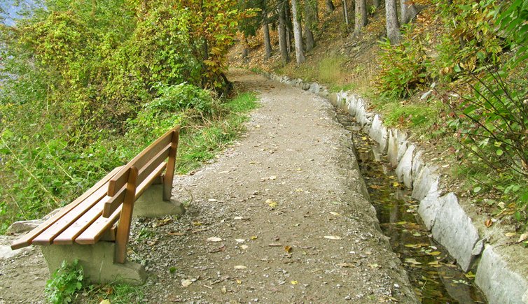
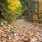
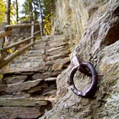
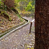
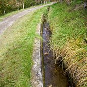
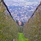
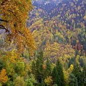
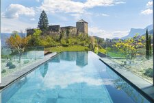
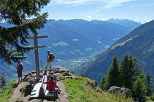
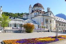
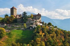
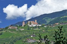
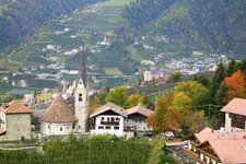
The Scena Waalweg path from Verdines to the Val di Nova leads through beautiful mixed forests and fruit orchards
Image gallery: Scena Waalweg path
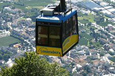
We start our hiking tour in the centre of Verdines, a little village above the entrance of the Val Passiria not far from Scena, heading towards Mount Scena until we reach a crossroads. From here, the trail leads gently downwards. We continue our tour on a beautiful trail leading across the forest and later on a road with little traffic, which also leads to the valley station of the Taser cable car.
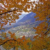
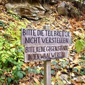
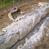
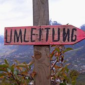
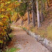
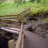
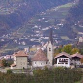
Following the signposts, we finally reach the Waalweg path. Time and time again, at some sections the dense deciduous forest allows us to enjoy the beautiful surrounding panorama and a great view on the village of San Giorgio.
Finally, the last section of the trail leads us into the Val di Nova at the end of Mount Scena. At the valley station of the Monte Ivigna cable car we take trail no. 15 and hike back to Scena. However, there is also the possibility to take the bus to reach the starting point of our hiking tour.
Please note: the Scena Waalweg path is an easy and well maintained hiking trail. Except for icy winter days, it is accessible the whole year round.
Author: AT
-
- Starting point:
- Verdines
-
- Time required:
- 02:30 h
-
- Track length:
- 10,7 km
-
- Altitude:
- from 514 m to 919 m
-
- Altitude difference:
- +268 m | -529 m
-
- Route:
- Verdines - Schenner Waal (Roggia di Scena) - San Giorgio - Val di Nova - Goiano - Scena
-
- Signposts:
- Schenner Waalweg, no. 15
-
- Destination:
- Scena
-
- Recommended time of year:
- Jan Feb Mar Apr May Jun Jul Aug Sep Oct Nov Dec
-
- Download GPX track:
- Scena Waalweg path
If you want to do this hike, we suggest you to check the weather and trail conditions in advance and on site before setting out.
