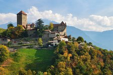
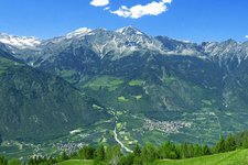
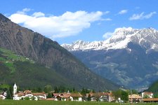
This trail takes you through deciduous woods above Parcines along an old irrigation channel
Image gallery: Parcines Waalweg path
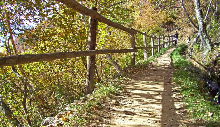
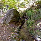
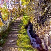
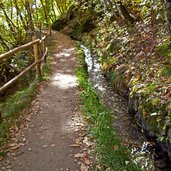
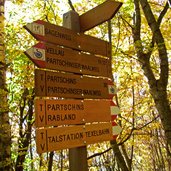
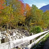
The Parcines Waalweg path starts an half-hour walk from the centre of Parcines. We start in the centre of the village and take the marker "Sagenweg - Waalweg" towards east. Arrived at the district of Vallettina (Vertigen, in German) a short steep ascent leads us up to the Waalweg path. The irrigation canal, along which the Parcines Waalweg path snakes, still today serves the purpose of irrigating the fields and surrounding orchards, as also its original purpose was.
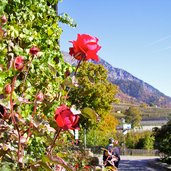
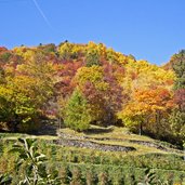
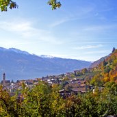
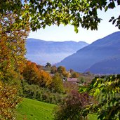
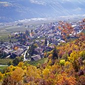
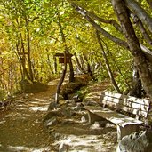
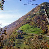
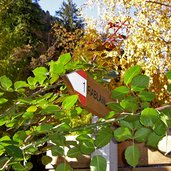
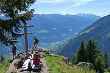
The flat path is overgrown with dense deciduous forests and macchia. Where the forest clears we have a gorgeous view over Parcines, the Val Venosta until the Ortles in the west and the Sarentino Alps with the Monte Cervina and Ivigna in the east.
At the western end of the irrigation channel we reach the Val di Tel (Zieltal) which leads into the Gruppo di Tessa (Texelgruppe) and where also the well-known waterfall of Parcines can be found. But for us now it means to walk into the other direction – downhill. Along the brook Zielbach we walk to the chain bridge and take the marker no. 1 back to the village of Parcines.
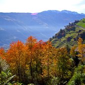
Please note: this very nice and easy walking-tour can be recommended especially in spring and autumn, when it doesn't get too hot. We did it in autumn and were highly impressed by the bold different colours of the leaves.
Author: AT
-
- Starting point:
- Parcines, centre
-
- Time required:
- 01:40 h
-
- Track length:
- 4,6 km
-
- Altitude:
- from 628 m to 812 m
-
- Altitude difference:
- +224 m | -224 m
-
- Signposts:
- N. 10B, 7A, Partschinser Waalweg, 39, 1
-
- Track surface:
- hiking trail 45%, asphalt 55%
-
- Recommended time of year:
- Jan Feb Mar Apr May Jun Jul Aug Sep Oct Nov Dec
-
- Download GPX track:
- Parcines Waalweg path
If you want to do this hike, we suggest you to check the weather and trail conditions in advance and on site before setting out.
