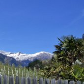
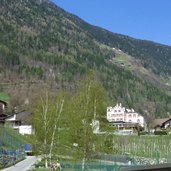
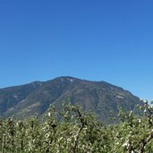
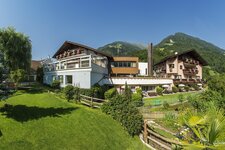
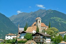
From Saltusio in Val Passiria to Merano, the Maia Waalweg path takes along the Passiria river
Image gallery: Maia Waalweg path
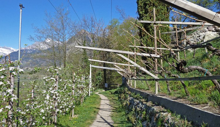
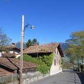
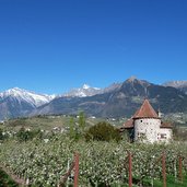
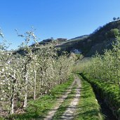
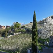
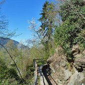
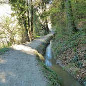
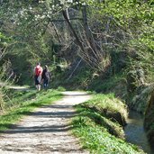
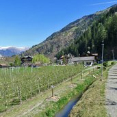
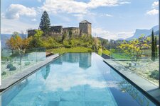
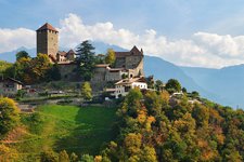
The water channels of the Maia Waalweg path run from Saltusio in the Val Passiria valley to Maia Alta near Merano, along the eastern side of the valley under Monte Scena. We walk the Waalweg path, called "roggia" in Italian and "Waalweg" in German, from Maia Alta to Saltusio. Our starting point is Castel Planta (Via Planta), from where the trail stretches across fruit orchards, forests and meadows.
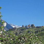
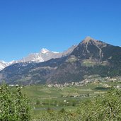
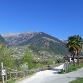
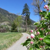
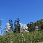
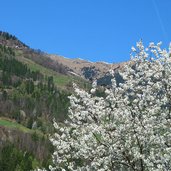
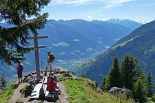
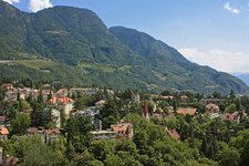
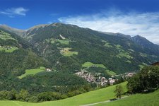
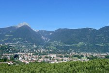
The altitude difference is hardly noticeable, as it is really soft. This hike is recommendable above all in spring, at early/mid April, when the apple trees are in full blossom. This hike is not only ideal to observe nature along the Waalweg path, but you can also enjoy the view of Scena and the other side of the valley with Tirolo, Caines and Rifiano, as well as towards the head of the valley with the Giovo mountain ridge.
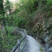
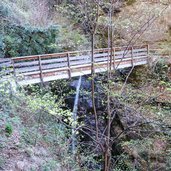
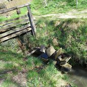
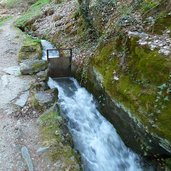
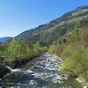
The irrigation channel is in great parts open, the water does not run through pipes. Shortly before we reach Saltusio, we pass the bridge over the river. This is also the end of the Waalweg path and the point where water from the channel is diverted into the Passirio river. We walk up the path to Saltusio, in alternative you can take the bus to Merano.
Author: AT
-
- Starting point:
- Merano - Maia Alta (Castel Planta)
-
- Time required:
- 02:15 h
-
- Track length:
- 7,9 km
-
- Altitude:
- from 402 m to 490 m
-
- Altitude difference:
- +185 m | -103 m
-
- Signposts:
- Maiser Waalweg
-
- Destination:
- Saltusio
-
- Recommended time of year:
- Jan Feb Mar Apr May Jun Jul Aug Sep Oct Nov Dec
-
- Download GPX track:
- Maia Waalweg path
If you want to do this hike, we suggest you to check the weather and trail conditions in advance and on site before setting out.
