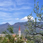
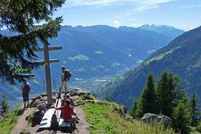
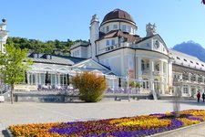
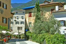
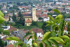
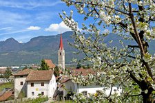
The Brandis water channel runs across the sunny slopes above the village of Lana
Image gallery: Brandis Waalweg path
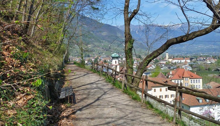
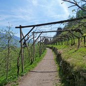
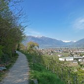
The Brandis water channel was built by the Lord of Brandis in 1835. We start our hiking tour in the centre of Lana, at the parking space P4 in the Palade road. After following the Palade road for about 100 metres, the Waalweg path branches off to the left and leads across fruit orchards, vineyards and deciduous forests. The water channel is not visible since it runs underground.
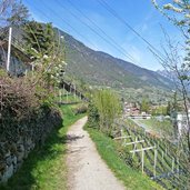
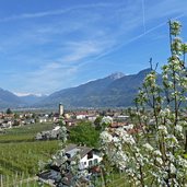
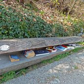
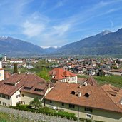
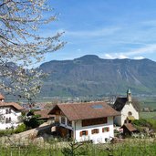
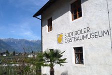
The trail is quite wide and also accessible for wheelchairs and prams. Continuing our hiking tour on the Brandis Waalweg path, we enjoy nice views on the village of Lana and its surroundings. After the beautiful S. Margareta Chapel, we finally reach Lana di Sotto, where we pass the South Tyrolean Fruit Growing Museum and finally the parish church of Lana di Sotto, famous for its altar done by Hans Schnatterpeck.
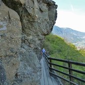
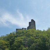
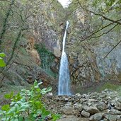
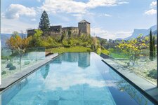
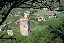
Enjoying some nice views on the Brandis ruin and the golf course, the trail leads into the valley, where we see the Rio Brandis and its waterfall. The trail is only 3.5 km long and we hike the same way back.
Author: AT
-
- Starting point:
- Via Palade road in Lana (at parking space P4)
-
- Time required:
- 01:00 h
-
- Track length:
- 3,0 km
-
- Altitude:
- from 327 m to 384 m
-
- Altitude difference:
- +92 m | -47 m
-
- Signposts:
- 10, 1
-
- Destination:
- Brandis Waterfall
-
- Resting points:
- Waalrast
-
- Recommended time of year:
- Jan Feb Mar Apr May Jun Jul Aug Sep Oct Nov Dec
-
- Download GPX track:
- Brandis Waalweg path
