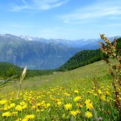
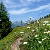
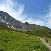
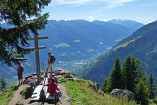
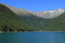
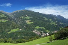
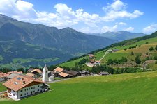
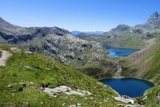
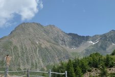
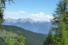
The highest mountain of the Sarentino Alps boasts lovely alpine pastures, which are definitely worth seeing
Image gallery: Hiking to the alpine pastures of Monte Cervina
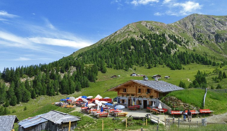
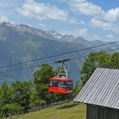
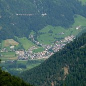
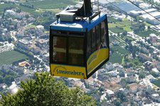
Our hike starts at Saltusio, a village in Val Passiria. This is where we take the Monte Cervina funicular, taking us to the hamlet of Talle di Sopra at 1,375 m a.s.l. From this point we proceed by funicular to the mountain station Klammeben (1,980 m a.s.l.). At the mountain station our hike definitely starts on foot.
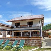
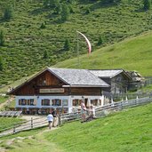
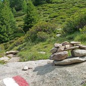
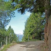
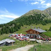
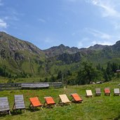
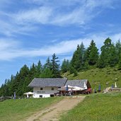
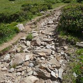
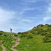
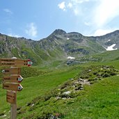
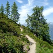
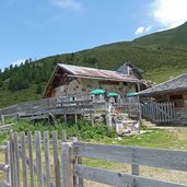
We follow the path no. 40 and walk slightly downwards to the mountain refuge Punta Cervina (Hirzerhütte, 1,986 m a.s.l.) and the lovely Tallner alpine pasture. We proceed our hike upwards to the old Tallner refuge at 2,017 m a.s.l. and walk on path no. 1, across lovely alpine pastures and a larch forest. After about one hour of walking we reach the Hintereggalm alpine pasture (1,990 m a.s.l.) and finally the last refuge included in our hike, which is the Mahdalm (1,990 m a.s.l.).
We proceed our hike on trail no. 2B, taking us back to the Tallner alpine pasture and further on back to the starting point at the mountain station of the funicular.
Author: AT
-
- Starting point:
- Klammeben (mountain station of the Monte Cervina funicular)
-
- Time required:
- 02:15 h
-
- Track length:
- 6,8 km
-
- Altitude:
- from 1.956 m to 2.113 m
-
- Altitude difference:
- +271 m | -271 m
-
- Route:
- Mountain huts: Hirzerhütte - Mahdalm - Tallner Alm - Klammeben
-
- Signposts:
- 40, E5, 1, 2B
-
- Resting points:
- Hirzerhütte - Mahdalm - Tallner Alm - Klammeben
-
- Recommended time of year:
- Jan Feb Mar Apr May Jun Jul Aug Sep Oct Nov Dec
-
- Download GPX track:
- Hiking to the alpine pastures of Monte Cervina
If you want to do this hike, we suggest you to check the weather and trail conditions in advance and on site before setting out.
