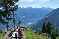
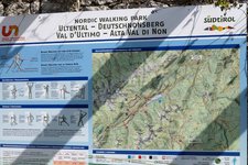
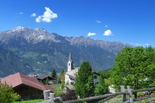
This circular hike between 1,350 and 2,050 m asl leads us to the Malga di Naturno mountain hut and on the Monte San Vigilio
Image gallery: Hike from Riolagundo to the Naturno Mountain Hut
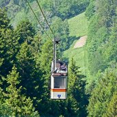
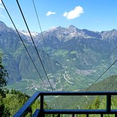
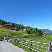
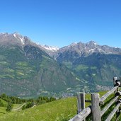
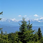
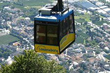
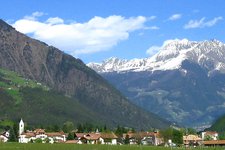
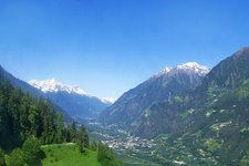
Today we'd like to discover the Malga di Naturno mountain hut and its surroundings at 2,000 m a.s.l., located below the Mount Guardia Alta at the eastern foothills of the Ortles-Cevedale Group. The small hamlet of Riolagundo on the Montetramontana (1,340 m asl) is the starting point of our hike, accessible by the Riolagundo Cable Car starting from Saring near Rablà. This small cable car was replaced in 2015 by a new panoramic cableway.
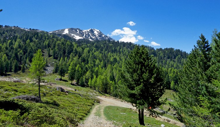
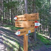
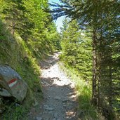
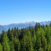
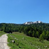
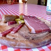
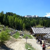
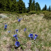
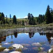
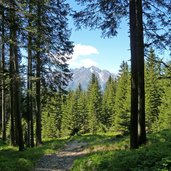
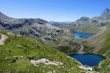
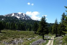
The path no. 27 proceeds slightly uphill through a spruce and larch forest. After a 90-minute walk we reach the mountain hut which invites to take a rest and to enjoy a traditional 'Speckbrettl' consisting of ham, cheese, bread, gherkins and other pickles and vegetables. Afterwards we continue our hike on the path no. 9A towards east. We cross a high alpine landscape characterised by Swiss pines and mountain flowers such as Alpine roses and gentians, some snow rests can still be found in the shadow.
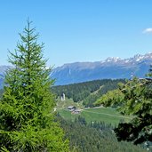
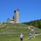
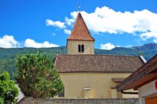
The path no. 9 proceeds downhill to the Monte San Vigilio mountain with the eponymous church dedicated to Saint Vigilius. Finally the Jocher mountain inn invites to stop for coffee and cake before we walk down to the mountain station of the Riolagundo Cable Car where our hike ends.
Author: AT
-
- Starting point:
- Rablà/Saring (valley station of the Riolagundo Cable Car)
-
- Overall time:
- 03:30 h
-
- Total route length:
- 12,1 km
-
- Altitude:
- from 1.329 m to 1.958 m
-
- Altitude difference (uphill | downhill):
- +657 m | -657 m
-
- Route:
- Riolagundo - Malga di Naturno mountain hut - Monte San Vigilio - Riolagundo
-
- Signposts:
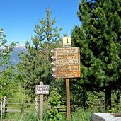
- no. 28, 27, 9A, 9, 28
-
- Resting points:
- Naturnser Alm, Gasthof Jocher
-
- Recommended time of year:
- Jan Feb Mar Apr May Jun Jul Aug Sep Oct Nov Dec
-
- Download GPX track:
- Hike from Riolagundo to the Naturno Mountain Hut
If you want to undertake this hike, we recommend you to check the weather and trail conditions in advance and on site before setting out.
