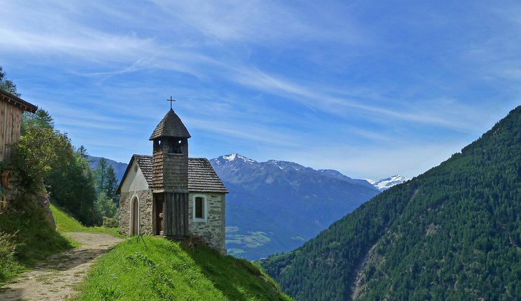
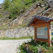
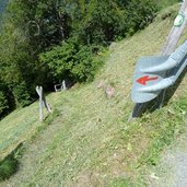
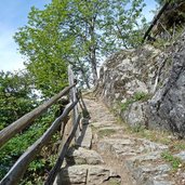
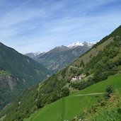
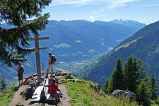
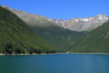
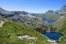
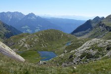
Hiking across the steep slopes high above the Val Senales, the 6th stage passes some beautiful mountain farms
Image gallery: Alta Via di Merano Unterstell - Monte S. Caterina
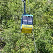
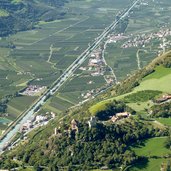
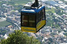
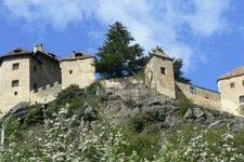
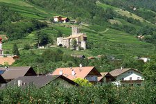
We reach the starting point of this stage of the Alta Via di Merano by taking the Unterstell cable car and hiking from its mountain station to the Patleid and Linthof farms on trails no. 10A and 10. From here, the Alta Via di Merano branches off into the Val Senales, offering beautiful views of the Val Venosta and Reinhold Messner's Juval Castle.
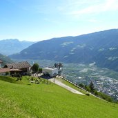
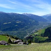
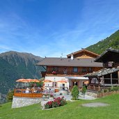
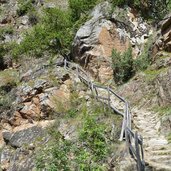
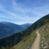
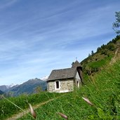
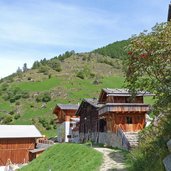
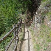
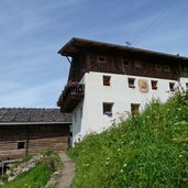
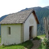
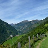
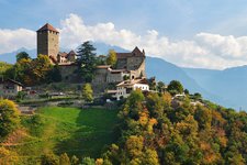
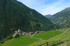
Having passed the mountain tavern Inner-Unterstell we hike steeply downwards for a short time before the trail continues on the western slopes of the Val Senales, some of which are very steep and still today can be only mowed by hand. The beautiful old mountain farms and cottages and some little chapels fit harmoniously into the landscape.
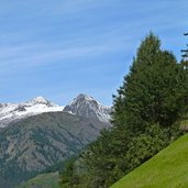
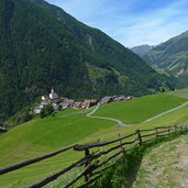
We continue our hiking tour towards the village of Monte Santa Catarina, enjoying the beautiful panorama of the white peaks of the Oetztal Aps and the Val Senales Glacier. On trail n° 10A we reach Monte Santa Caterina, from where we take the bus back to Naturno.
-
- Starting point:
- Unterstell (reachable by the Naturno-Unterstell cable car)
-
- Time required:
- 02:30 h
-
- Track length:
- 7,1 km
-
- Altitude:
- from 1.237 m to 1.522 m
-
- Altitude difference:
- +381 m | -427 m
-
- Route:
- Unterstell - Inner-Unterstell - Monte Santa Caterina
-
- Signposts:
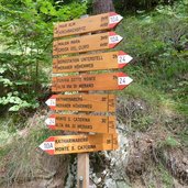
- no. 24 (Alta Via di Merano)
-
- Destination:
- Katharinaberg / Monte S. Caterina
-
- Resting points:
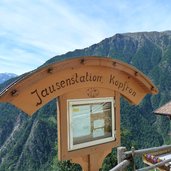
- Patleid, Linthof, Hofschank Wald, Kopfron
-
- Recommended time of year:
- Jan Feb Mar Apr May Jun Jul Aug Sep Oct Nov Dec
-
- Download GPX track:
- Alta Via di Merano Unterstell - Monte S. Caterina
